It’s no secret I love hiking/ bushwalking, so when I was looking for walks to do in and around the Brisbane area, I came across this Mount Glorious walk that has a bit of history and adventure. The Piper Comanche Wreck trail contains remnants of an old plane that crashed in the rainforest below Mt D’Aguilar in D’Aguilar National Park in the ‘70s. Fortunately, it’s not too difficult to reach, nor too far from Brisbane City centre.
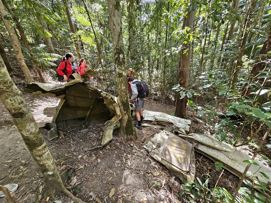
One thing about D’Aguilar National Park, particularly around the Mt Glorious region, is there are often leeches here when it’s wet. As I know my son is terrified of leeches, I timed a visit during a Brisbane dry spell. So, I set off on a clear Sunday morning towards the Piper Comanche Wreck with my 13-year-old, hoping I wouldn’t even have to mention leeches at all (thankfully I didn’t!).
How to Find this Mount Glorious Walk?
Head towards the start of the Lepidozamia Track just outside of Mount Glorious, which is roughly 45 minutes’ drive from Brisbane CBD. It’s a beautiful, at times winding drive through forest and if the urge takes you, you can stop at Mount Glorious Café along the way.
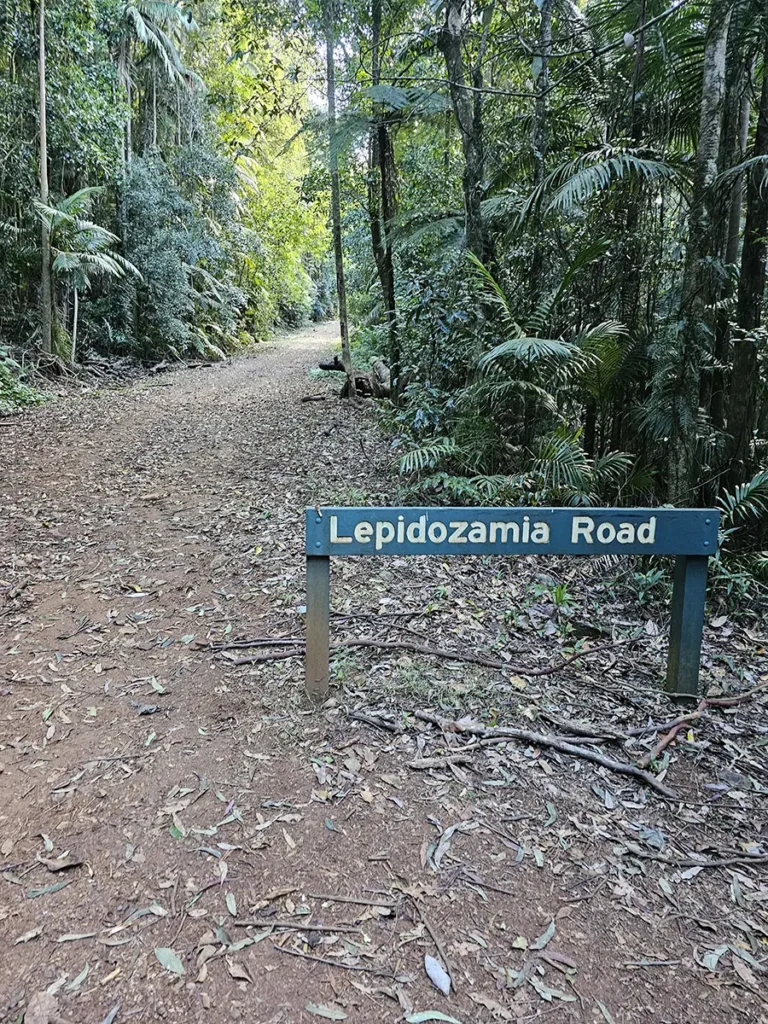
Park your car at the start of the Lepidozamia Track and keep your eyes peeled for the start of the Piper Comanche Wreck trail, as you could easily miss it. The trail entrance is about 70 metres past the gate on the right-hand side. Keep this in mind and you shouldn’t have a problem finding it.
The Piper Comanche Wreck Trail
Unlike some posts I’d read prior to our walk, the trail is pretty easy to follow from here on in, as it’s well-signposted (perhaps it wasn’t in the past). D’Aguilar National Park is also a splendid place to go for a walk, and this particular section is mostly flat or has gentle undulations until you’re near the wreck (more on that later).
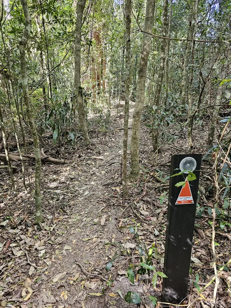
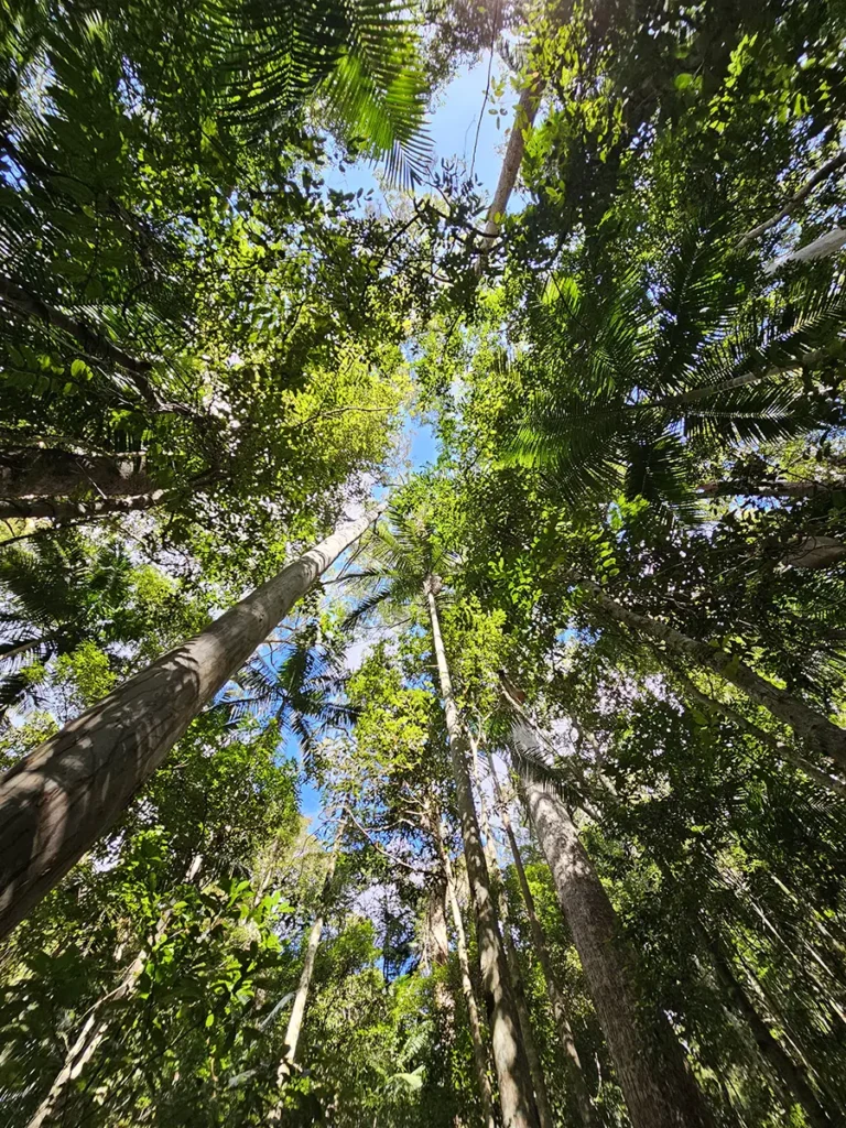
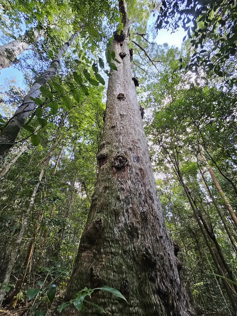
The walk is well-shaded too, as you stroll through little valleys beneath a cornucopia of ferns, eucalypts and subtropical rainforest. Immediately after you begin the walk you’re immersed in the sublime forest world, as you’re surrounded by green and the noise of human activity slowly disappears.
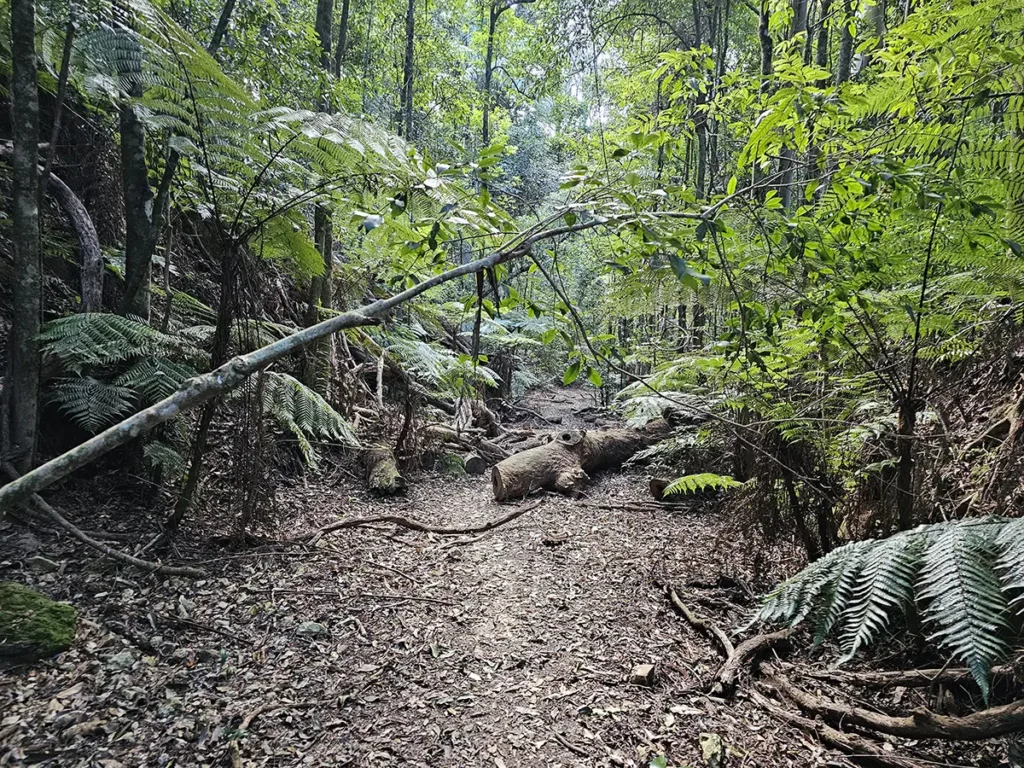
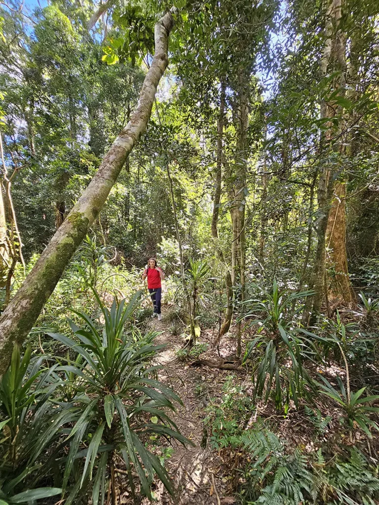
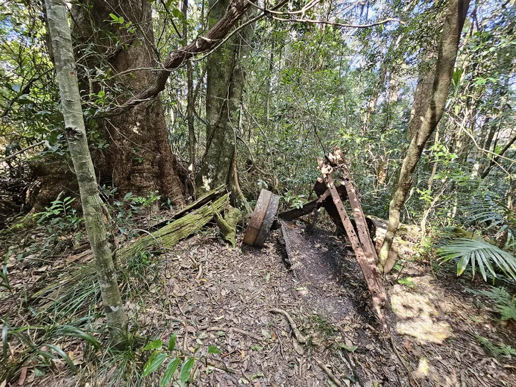
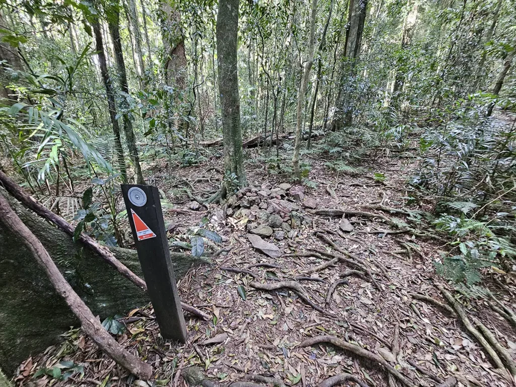
I love the energy of walking in a forest, and as this walk is fairly short and accessible from the CBD, it’s another Brisbane haven that should be on everyone’s list. Sights along this section include what looked like the remains of an old cart. And while, as I’ve said, the walk is well-signposted for the most part, there is one part where you might stop and wonder for a second (like we did) which way to go. This junction is at a cairn. Head left here to start your descent to the wreck, as straight ahead will take you to the top of Mount D’Aguilar.
The Descent to the Wreck
This is where the walk gets more difficult, and if you’re not that fit or dexterous, this section may prove a little challenging. However, if you’ve got a reasonable level of fitness it shouldn’t pose a problem. My 13-year-old struggled a bit coming back up the hill, but he’s a little out of shape. I’m working on getting him away from screens and into the forest more!
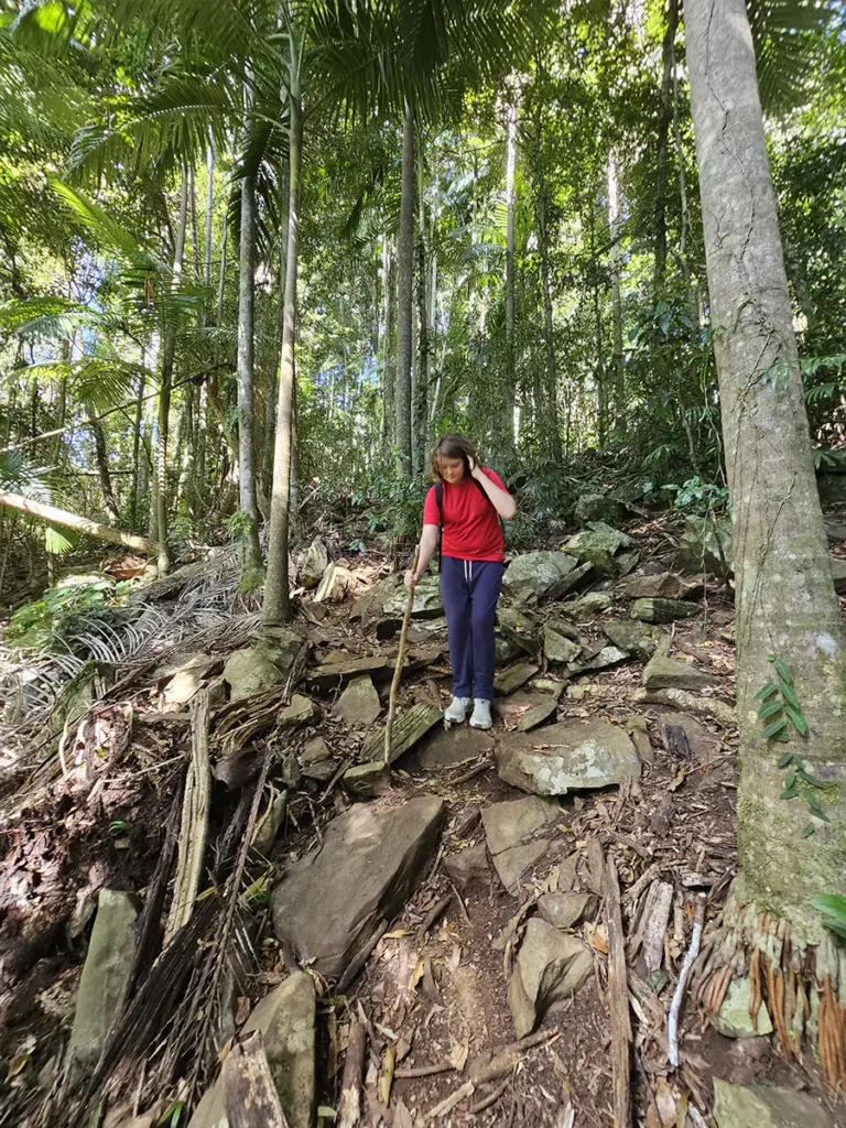
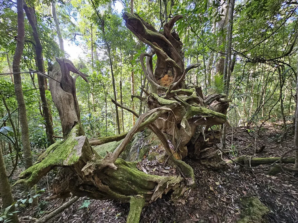
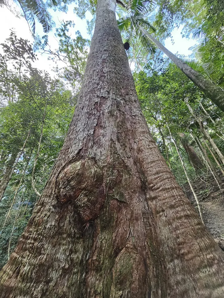
However, the good news for the less able is that it’s not too long from here on in. In fact, the descent to the wreck from the cairn took us 20 minutes, and if you take your time each way, you should be fine. A little tip: there are plenty of sturdy sticks lying about that will assist you in your travels. My son certainly took advantage of this! We also encountered some lovely, gnarled trees that could have been plucked out of Lothlorien.
The Plane Wreck
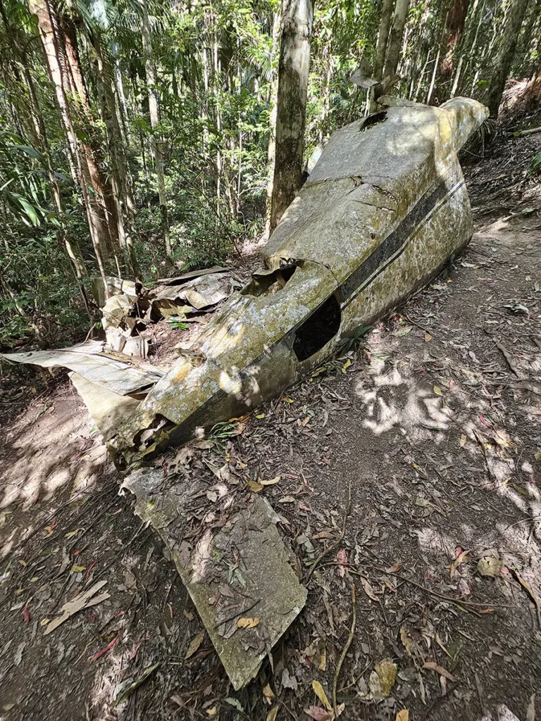
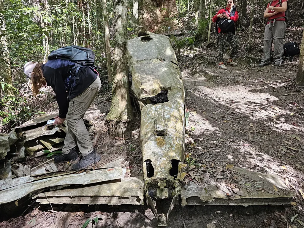
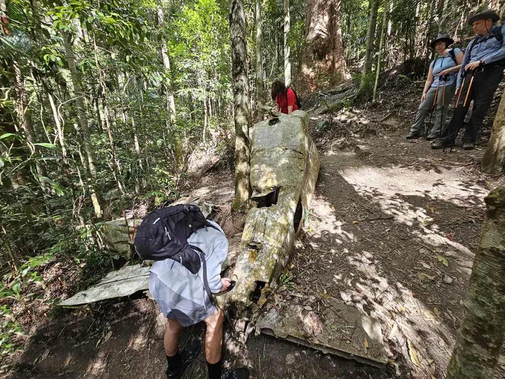
Approaching the end of our descent, the trail opened onto a small clearing where lies the wrecked Piper Comanche – the small single-engine plane we came to see. There were a couple of other groups surrounding the wreck when we arrived, just as intrigued as we were.
A Bit of History
In 1977, a chap named Paul Pavletich left Archerfield Airport – located just South of Brisbane – to reach Bundaberg. Unfortunately for Paul, he faced ‘weather challenges’ (as the plaque at the site tells you) along the way, which forced him to return to Archerfield. On his return, he deviated from his route and acknowledged clearance at Mt Coot-tha before disappearing into the clouds.
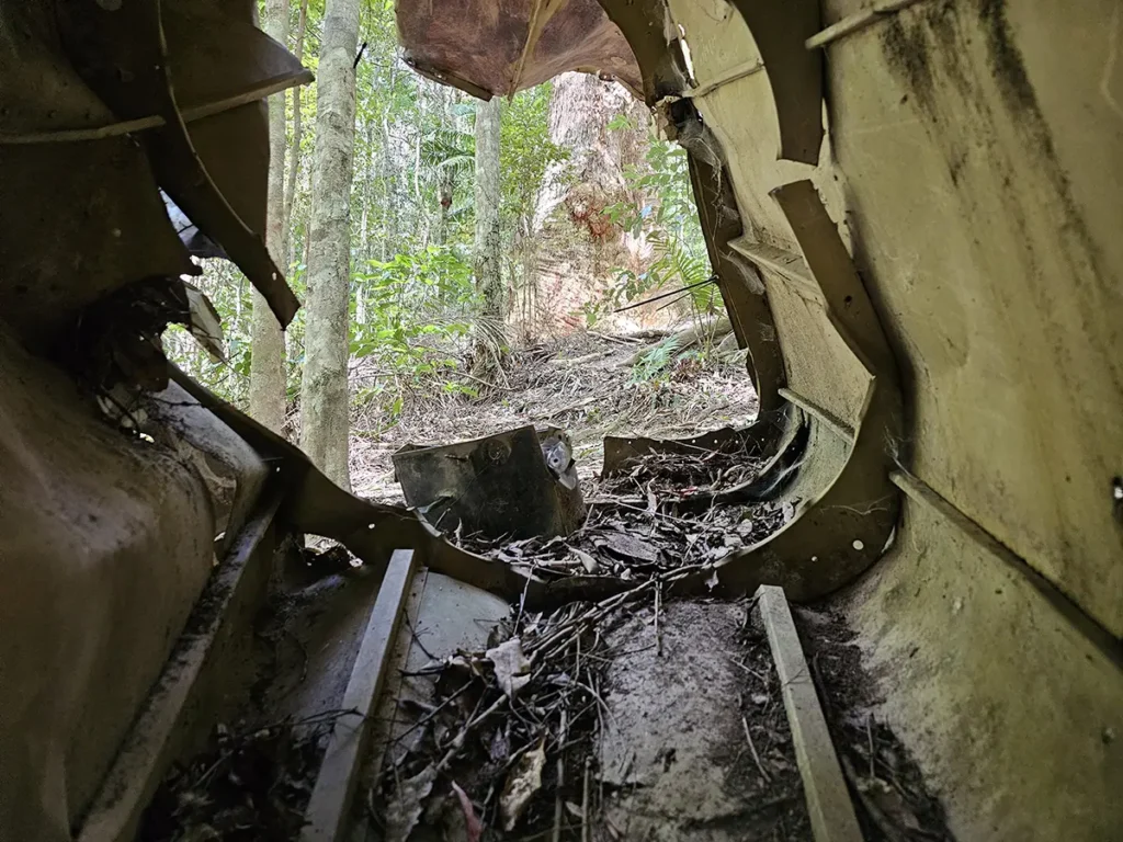
It’s believed the pilot crashed into trees due to poor visibility caused by cloud cover. His plane wreck was found four days later, roughly 120 metres below the summit of Mt D’Aguilar.
Lingering at the Wreck
We stayed at the wreck site for a little over 30 minutes, watching a few people come and go, exploring the remains of Paul Pavletich’s last adventure. As the wreck has lain here for almost 50 years, parts have been pilfered. However, as you can see in the photos, a large part of the shell remains. The forest surrounding the wreck is also pretty and the air here at the foot of Mt D’Aguilar is invigorating.
How Difficult is the Walk?
The descent to the wreck and back again is quite steep, despite being less than a quarter of the walk’s length. Therefore, I’d say you need a reasonable level of fitness. Just take your time on this part, resting and enjoying this excellent part of Brisbane. Utilise one of the many sturdy sticks lying about and unless you’re quite unfit, you shouldn’t have a problem.
Unfortunately, due to the uneven ground and steep terrain towards the end, the walk is only for the able-bodied and it’s certainly not wheelchair friendly. I’d also advise against doing this walk in the wet (particularly if you don’t like leeches!).
How Long Does the Walk Take?
As we lingered at the crash site for 35 minutes and I was with my currently unfit 13-year-old, the walk took us 3 hours in total. So you could do it in less time. The walk is a 6km round trip and you’ll return via the same trail.
What to Bring?
Wear sturdy shoes, bring at least 1.5 litres of water (as there are no running creeks on the trail) and wear long pants – mostly if you do the walk in the wet (when there are leeches) or decide to add on the Mt D’Aguilar summit (see below). The walk is very shaded but I’d still suggest bringing a hat. Also, bring some energy snacks to make the walk more comfortable, and a walking stick if you don’t want to chance finding one on the forest path.
Climbing Mt D’Aguilar
When you get to the cairn I mentioned, just before you begin your descent, there’s the option of going straight ahead to the top of Mt D’Aguilar. I would ordinarily do this but I couldn’t convince my 13-year-old to join me, as he was stuffed from the ascent on the way back. On the Aussie Bushwalking site, a hiker suggested it’s only a ‘10 minute diversion’. Another reader on the AllTrails site said the path is ‘not clear’ and there’s ‘bush bashing’ involved.
I suggest doing this one before you descend to the wreck if you have any less-than-eager walkers in your party. If you’ve done this part, let us know in the comments!
About D’Aguilar National Park
D’Aguilar National Park, which is roughly 40,000 hectares in size, is home to more than 800 plant species, some of which are rare. In mountain streams, you might find giant barred frogs and spiny crayfish and bird lovers can catch a glimpse of bowerbirds, wompoo fruit doves, yellow-tailed cockatoos and bell miners. Tree variety includes open eucalypt, gum forests and subtropical rainforests.
Final Thoughts
The Piper Comanche Wreck is a cracking little Mount Glorious walk that’s worth your time, particularly as it has a bit of history and mystery at its end. Additionally, it’s not too taxing or too long and it’s another excuse to get away from your screen and immerse yourself in this little sublime part of Brisbane. It’s a reminder that us Brisbanites have it pretty darn good!
Check out my video below to get a better idea of the walk.
A Few Fast Facts
- There are no dogs allowed in D’Aguilar National Park.
- There are leeches on the trail when it’s wet.
- The walk is 6km return and involves a steep descent/ascent at the end.
- The walk returns via the same path.
- The walk is well signposted – just pay attention and you’ll be fine.
- Don’t miss the beginning of the trail!
- There’s parking at the beginning of the Lepidozamia Track, although get here early to secure a spot.
- Mt Glorious Café is a short drive away.
